



All Sunday walks start with a gathering at Fleckney village car park (///loses.always.huts)
Sibbertoft and Clipston
To the Memory of Gill Bridgeman (1951-2026)
Gill and I spent many happy hours recce’ing walks around Clipston before she became ill. It’s a sadness that she never had the chance to lead this one for the Fleckney Walking Club — but we can walk it for her, together, and share the stories she would have loved to hear.
Gill was always game for a good nine‑miler, but I’ve kept this route to a shade over seven miles so it sits neatly between our short and medium walks. It’s a gentle ramble through rolling Northamptonshire countryside — perfect for reminiscing, chatting, and celebrating a friend who was always up for “just one more field”.
Even if you didn’t know Gill, you are most welcome to join us for the walk.
The Route
Shortly after finalising the route for this walk, the Bull’s Head sadly closed its doors. Also, a recce of the walk uncovered a few issues, so here is the new route.
We will be starting the walk from The Red Lion in Sibbertoft (///coder.increased.flop) – we have permission to use their car park.
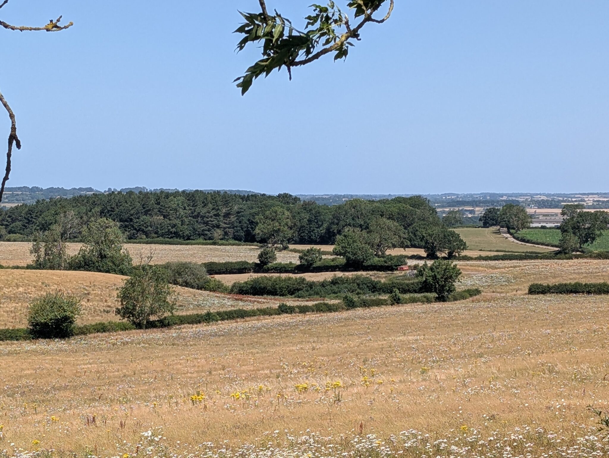
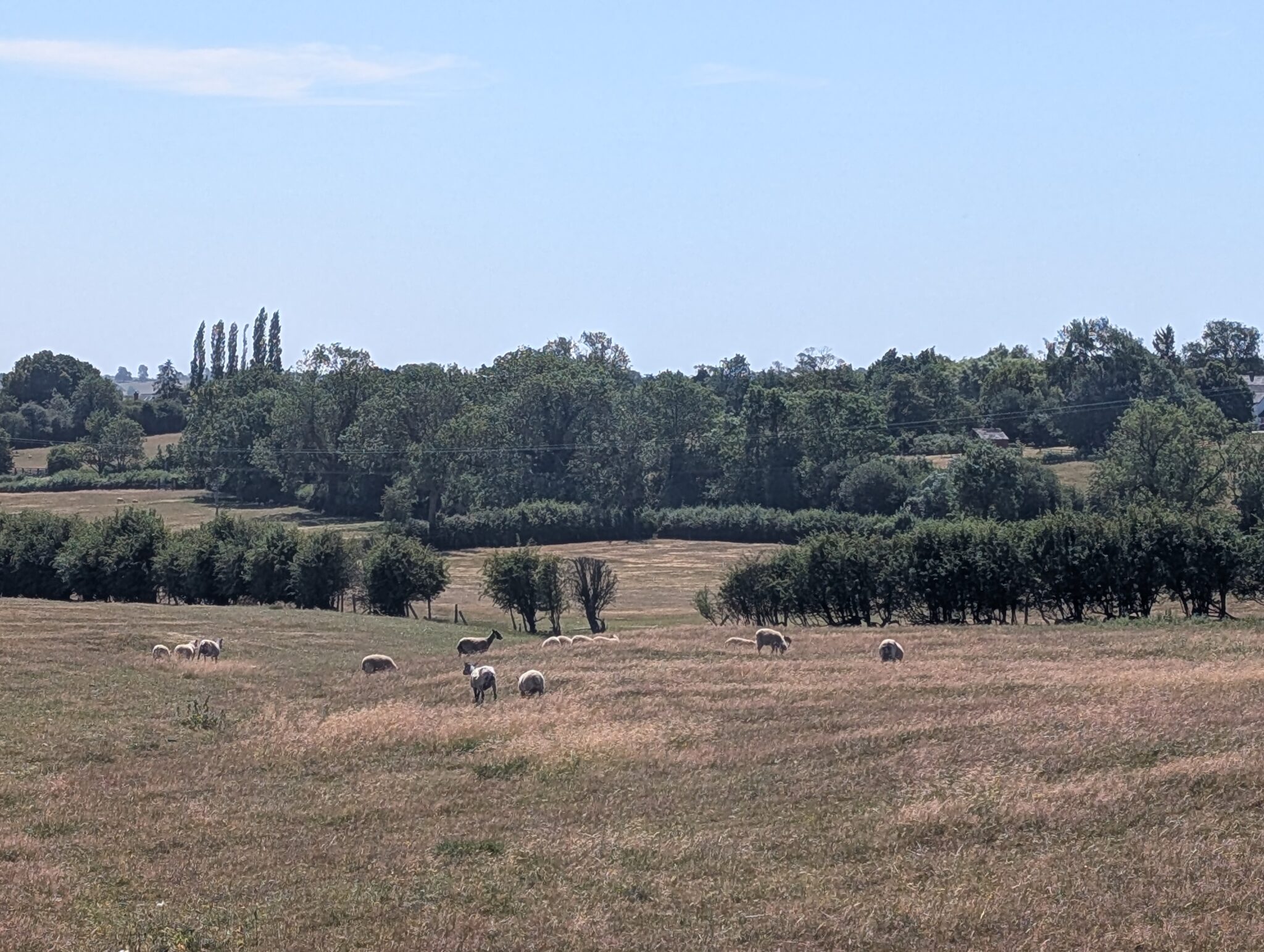
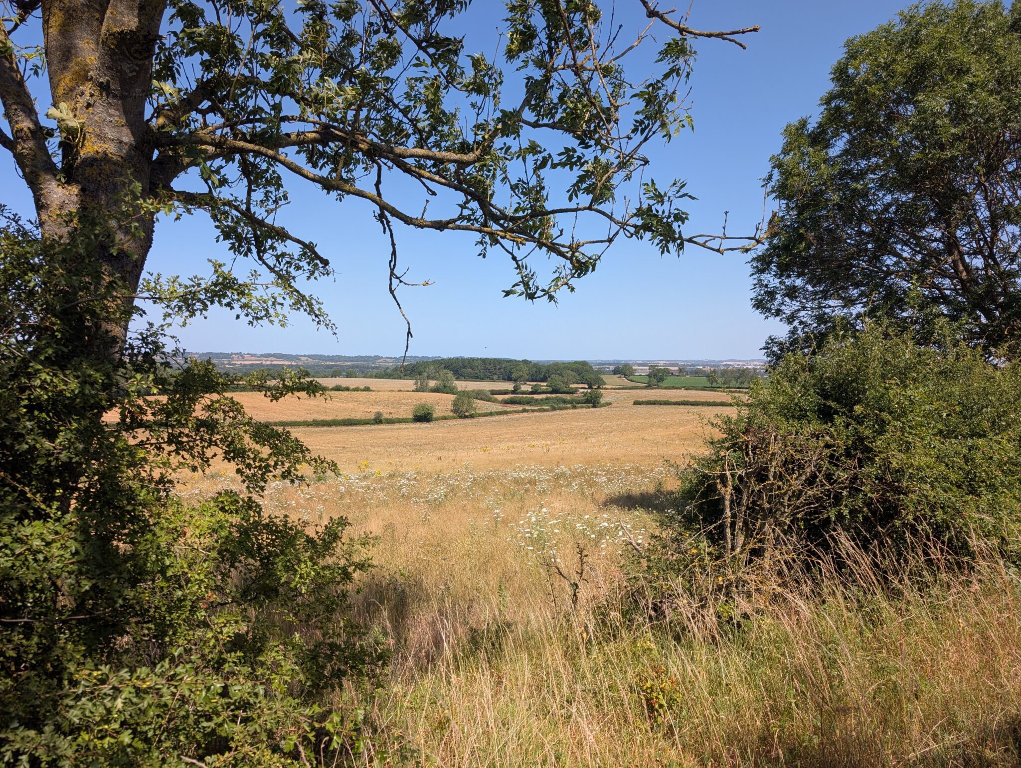
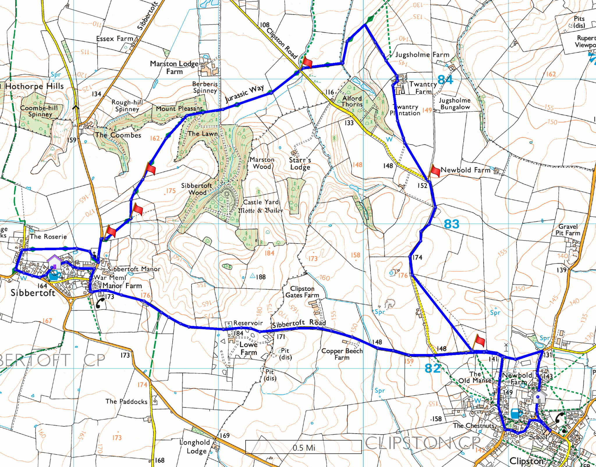
After a gentle wander through the village, we leave via Sibbertoft Road. This narrow two‑mile lane is usually quiet (famous last words) and, in places, offers lovely views across the Northamptonshire uplands — a landscape Gill always enjoyed.
The original route into and out of Clipston was over a few fields, but these proved to be overgrown, the path difficult to find, and ankle-twisting staupings left by heavy cattle – so we will stick to tarmac wherever possible.
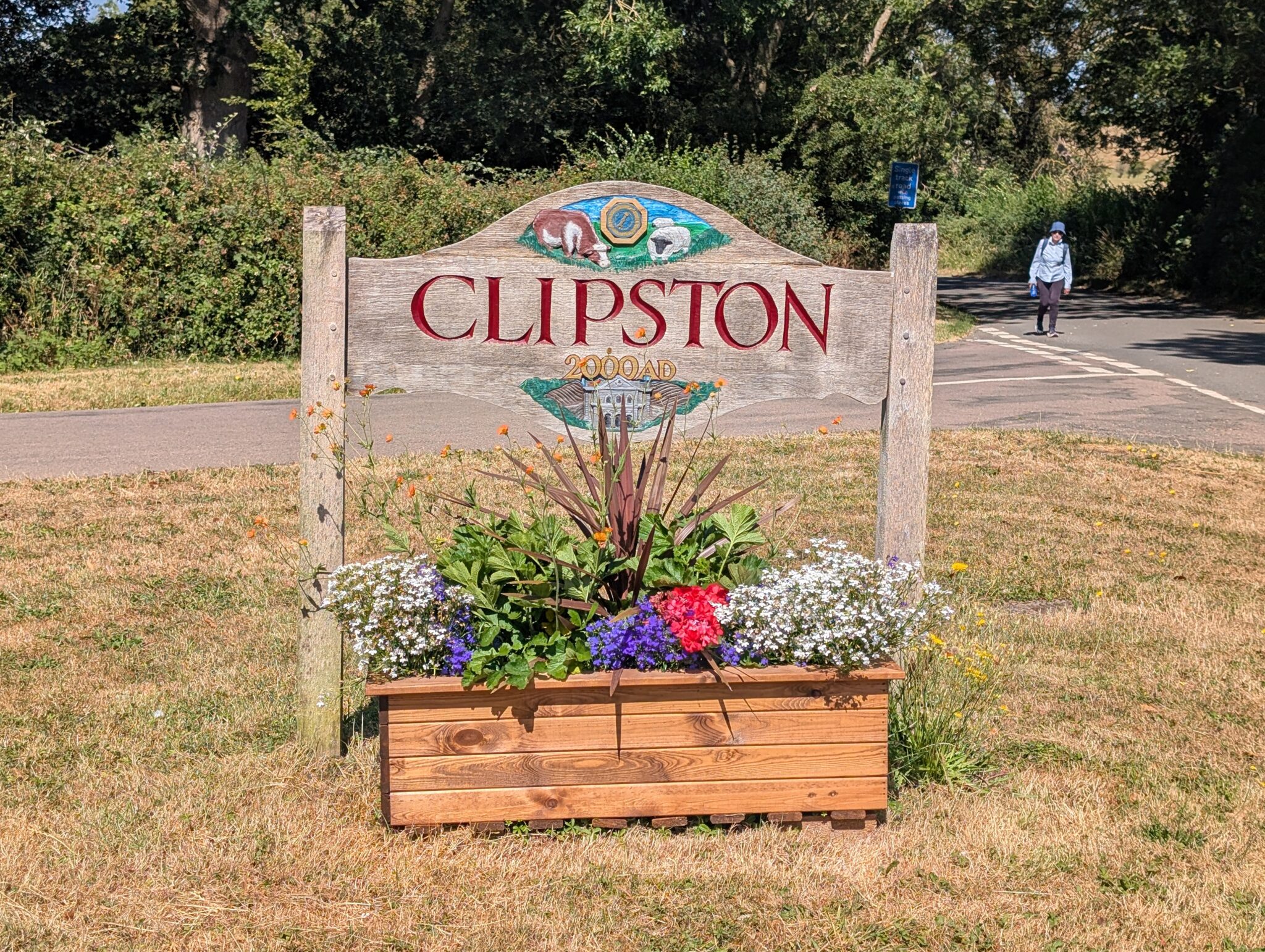
From High Street we head north and mosey through, and out of, the village by way of Harborough Road. As the road curves right, we take Sibbertoft Road off to the left and stay on this single-track road past the triangular junction. After about 220 metres (240 yards in old money) is a footbridge and stile affair leading to a footpath up and over open fields.
When we emerge onto the unnamed lane, we’ll spot the ROC Viewpoint for the Battle of Naseby. Sadly, the monument is currently closed, and when I enquired about access I was told it would require a fee and a group of about twenty bodies — so unless we suddenly multiply, bring binoculars and imagination.
(Historical note: The Battle of Naseby, fought in June 1645, was the decisive turning point of the English Civil War. King Charles I’s army was effectively destroyed here. The fields around Clipston, Sibbertoft and Naseby still hold the contours of the battle — hedgelines, ridges and hollows that shaped the fighting.)
A little further on, just past the driveway to Newbold Farm, a gate (usually open) leads to a footpath signed Marston Trussell 2 miles. We take this northerly path, passing Twantry Farm, until we meet the Jurassic Way — a long-distance route running from Banbury to Stamford, following the ancient limestone ridge that once formed the edge of a warm Jurassic sea.
Fear not: we’re not marching to Lincolnshire. We follow the Way southwest for about one and three‑quarter miles towards Sibbertoft. Off to the east, tucked in Sibbertoft Wood, lies the earthwork of a small motte‑and‑bailey castle — a Norman outpost from the 11th or 12th century. You can visit it, but it’s an out‑and‑back detour and adds about a mile… plus the temptation to roll down the hill.
Be warned: there are a couple of locations where secateurs may have to make an appearance as some footbridges and stiles were overgrown during the recce.
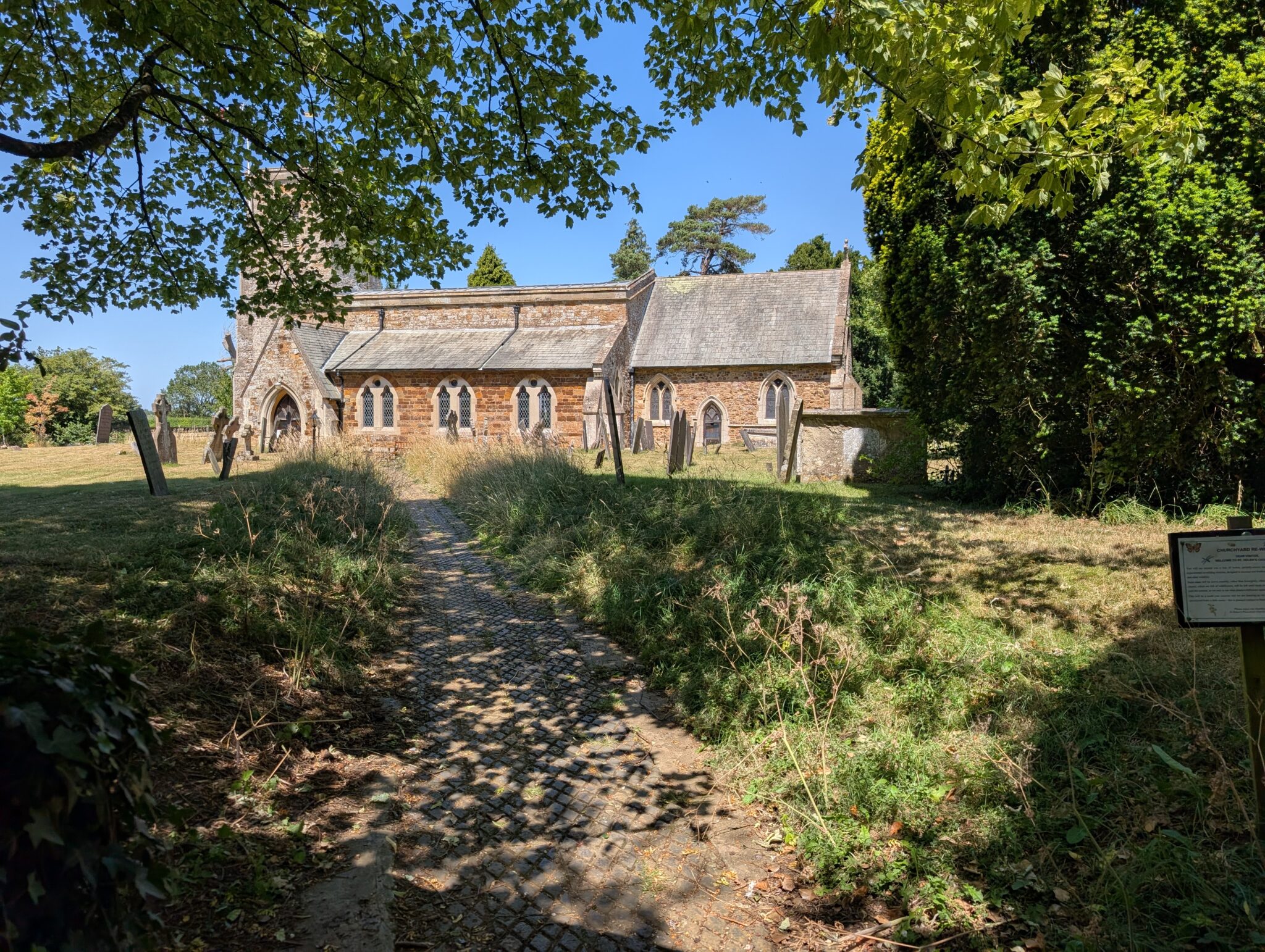
The Way takes us to the road leading back into the charming little village of Sibbertoft. We turn left onto this road and head to St Helen’s Church, which makes a peaceful lunch stop. We continue along the Way to the western edge of Sibbertoft, and a road named Westhorpe. At the bottom of the road, we turn left onto Welford Road, followed soon after by another left onto Welland Rise, and thence to the Red Lion, which is now our designated pub stop and the end of the walk.
There are about 6 stiles along this walk and some undulation – most of which is fairly gentle.
A Walk for Gill
This route holds memories for me, and I hope it will spark memories for those who knew Gill — her humour, her determination, her warmth, and her delight in a good view (or a good pub). Please come along, share your stories, and help us give her the walk she never got to lead.
General information:
The Fleckney Walking Club offers a range of walks for anyone who enjoys fresh air, good company, and the occasional debate about whose turn it is to get lost.
All walks start from Fleckney Village car park (What3Words: ///loses.always.huts).
Weekday Morning Walks
We head out every weekday at 8:30 a.m. for a 3–6 mile leg‑stretcher. These are friendly, local, and an excellent excuse to pretend we’re “morning people”.
Sunday Walks
Every Sunday we meet at 9:30 a.m.
The Sunday programme alternates each time:
- Every week: a short walk (4–6 miles) with a coffee stop
- Every other week: a medium walk (6–8 miles) with a pub stop
And so the cycle continues, like a well‑oiled machine… or at least a machine that’s had a coffee or a pint.
Good boots and weatherproof layers are strongly advised, especially for those who attract rainclouds. Bring refreshments too — a coffee or picnic stop is usually part of the ritual.
If we’re travelling outside Fleckney, car sharers are asked to contribute 20p per mile (one way).
Example: 10 miles = £2, plus whatever emotional support the driver requires.
Thursday Evening Walks (Summer)
In summer, we also run Thursday evening walks of 4–6 miles, starting at 7 p.m. from the village car park.
If the programme creeps into September, we shuffle the start to 6:15 p.m. in a brave attempt to outrun the sunset.
Most Thursday walks this year are local, so no transport or complicated logistics — just turn up and look enthusiastic.
Leading a Walk
If you fancy leading a walk, we have plenty of route ideas here. You bring the charm; the rest of us will bring the heckling.
Cancellations
If a walk is cancelled (usually due to weather, occasionally for common sense reasons), the leader will notify everyone via email and WhatsApp and will also appear at the meeting point to console any optimists who turned up anyway.
Membership
Annual membership remains a bargain at £5, which is less than the price of a pint on most of our pub‑stop routes.
Stay Updated
All the latest walk details, updates, and last‑minute dramas appear on our WhatsApp group:
https://bit.ly/4t1lj5V
The annual cost to join the Fleckney Walking Club is £5.
You can find The Fleckney Walking Club Group on Facebook. This is a private group but you are welcome to apply to join us.
We encourage you to join the Fleckney Walking Club WhatsApp Group.
Please do so by scanning the QR code, following the link below, or contacting Phil.

https://bit.ly/4t1lj5V
If you would like to join this walk then please fill out the form below and press the Submit button.
(If you are reading this message in an email, please click on the RSVP Now! button directly below to take you to the form.)
RSVP deadline is past