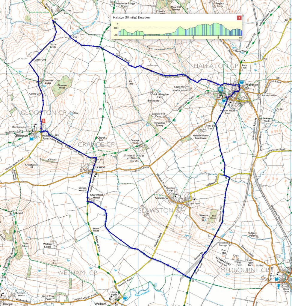
 Go through the entrance and pick up the MacMillan Way and follow it southwards for about 2½ miles to just beyond the dismantled railway.


Ditch the Sofa—Join Us for an Evening Stroll!
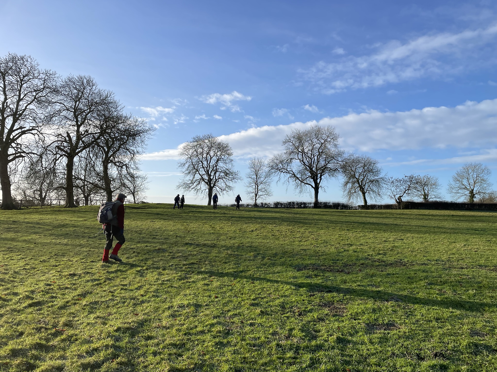
Summer’s here, and that means it’s time to swap your slippers for walking boots! The Fleckney Walking Club’s Thursday evening walks are a perfect way to stretch your legs, enjoy the fresh air, and pretend you’re training for an epic expedition (when really, it’s just 4 to 6 miles).
🚶♂️ Meet us at the village car park, High Street, Fleckney, by 7 p.m. (///loses.always.huts).
But wait, there’s more!
Early morning walks of 3 to 6 miles take place every weekday (Monday to Friday) at 8:30 a.m.
If you fancy a Sunday walk, we have short (4 to 6 miles) walks every Sunday and medium (6 to 8 miles) adventures every other Sunday.
⏰ We set off at 9:30 a.m. from the same car park.
For these longer jaunts, decent walking boots are a must (flip-flops are a definite no), and a waterproof jacket might save you from looking like a drowned rat if the weather turns. We also suggest bringing snacks—because let’s be honest, everything’s better with a coffee break. These jaunts usually include a pub stop—because hydration is important.
So, come along, stretch your legs, have a laugh, and discover just how nice a walk can be when it ends with a drink! 🍻
The annual cost to join the Fleckney Walking Club is £5.