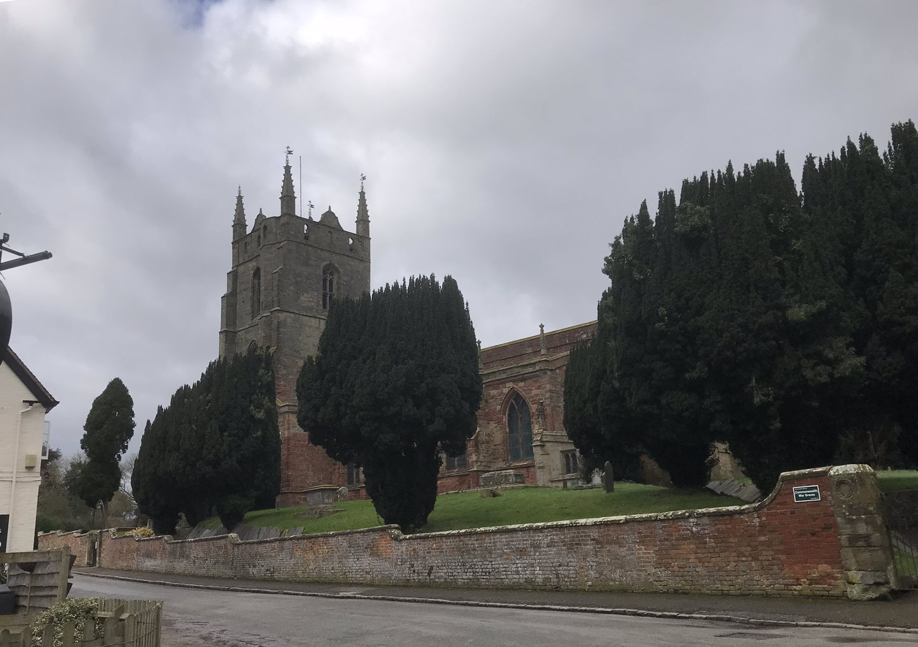
Walk Leader: Kathy Kilsby
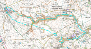
The snowdrop walk: just a touch under 8 miles long.
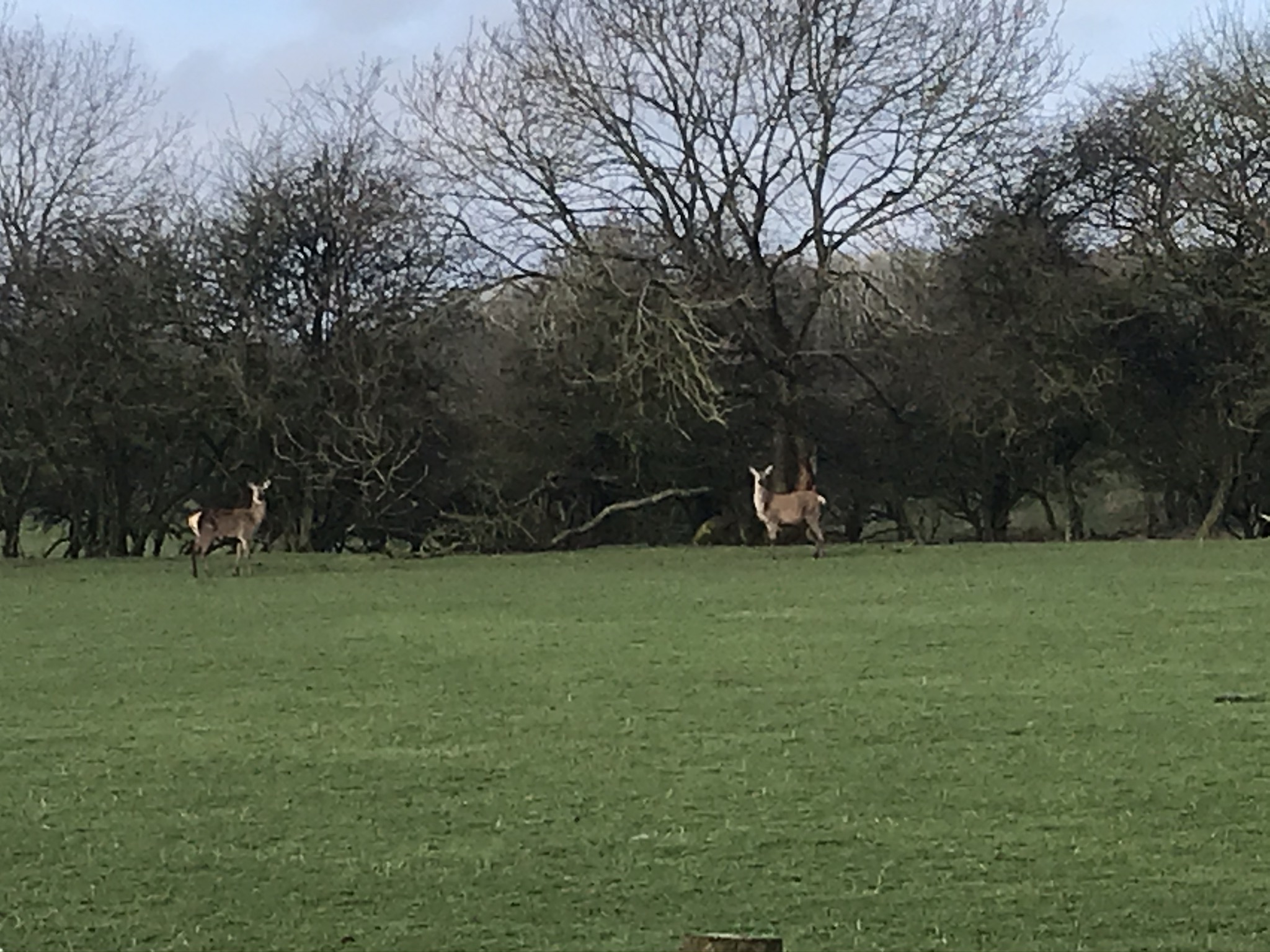
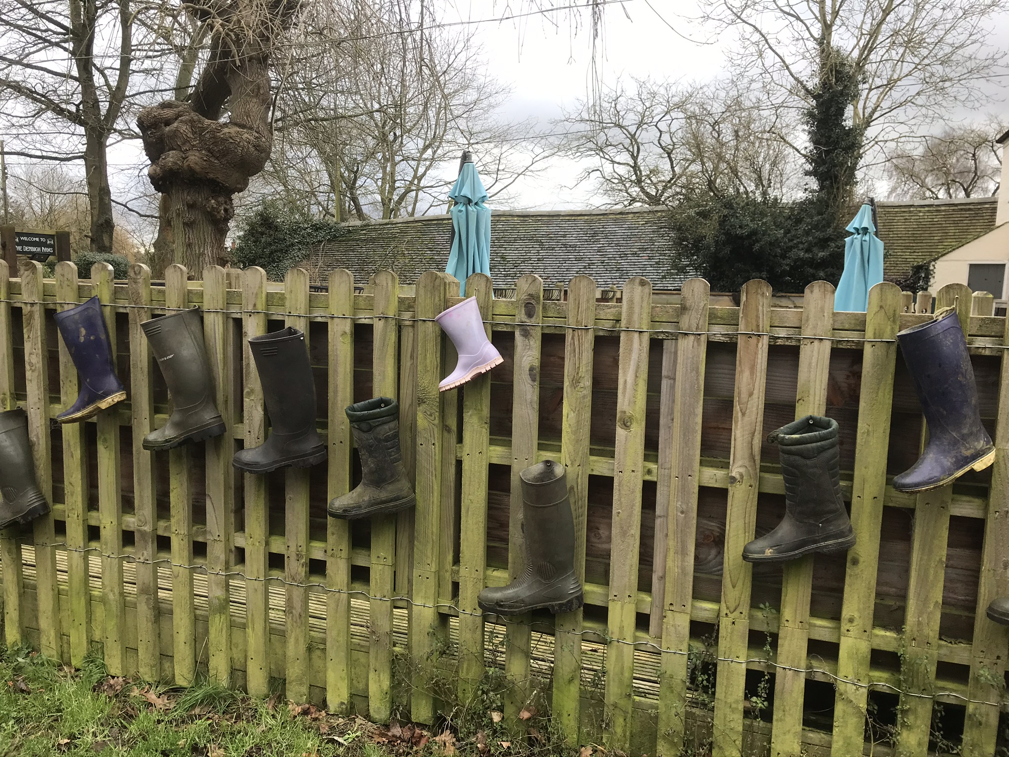
Note: If you have walking poles we suggest you bring them along as there is one short but steep section where they would come in useful. Also, if you like taking pictures of deer bring a camera with a good zoom lens!
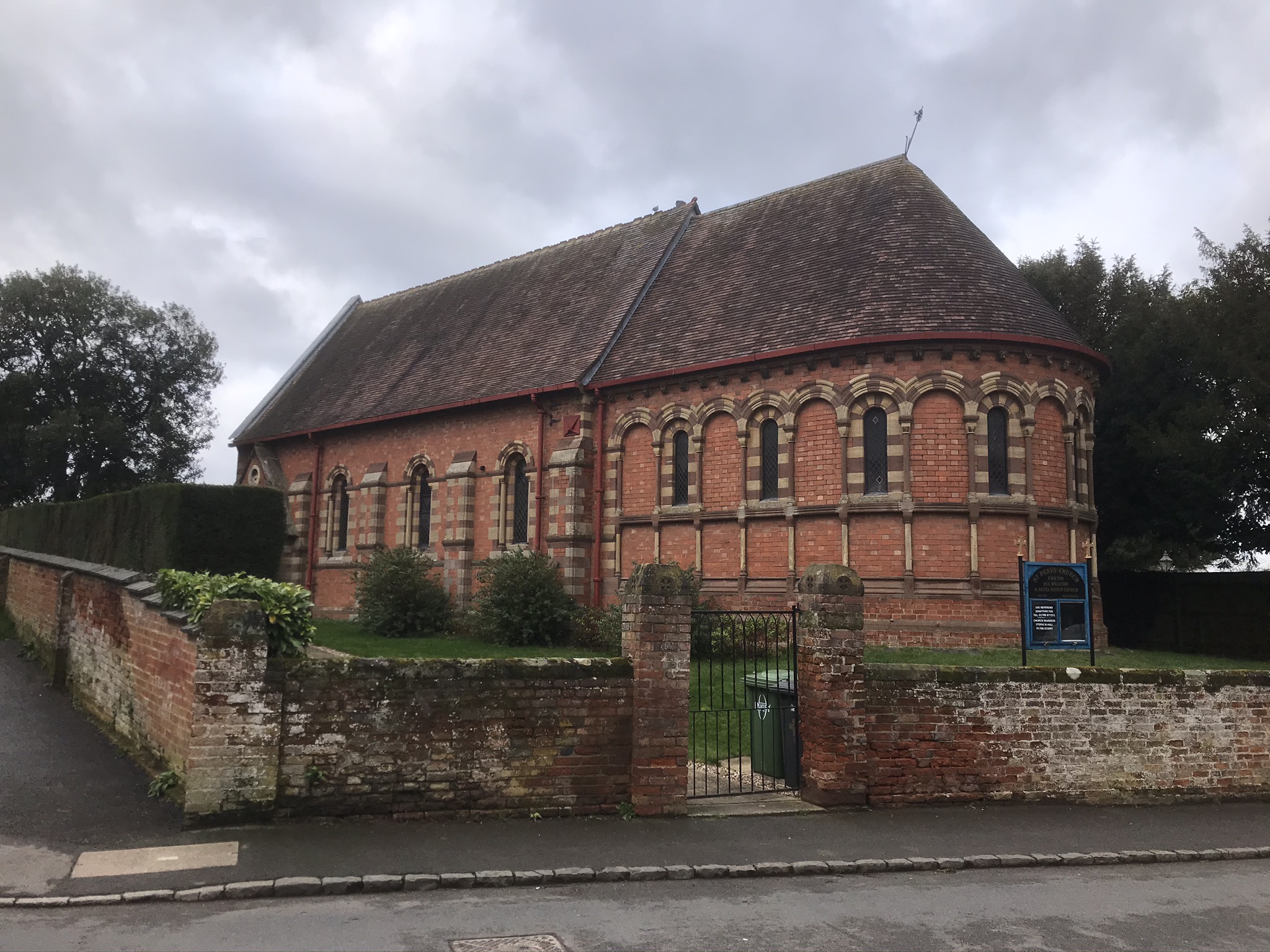
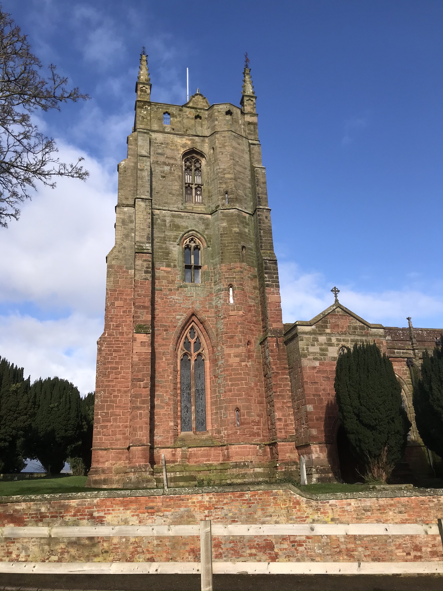
Park near St. Denys’ Church in Pailton (Warwickshire) and head southwest out of the village along Rugby Road. This is not a particularly busy road but there is no pavement so care is needed. When you get to it, turn right onto Cord Lane and follow it for about three-quarters of a mile. This road is much quieter although you will hear the traffic racing along the M6.
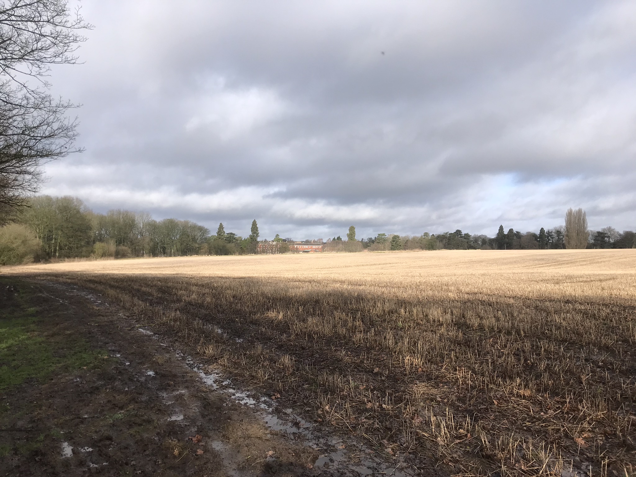
Cord Lane is fairly straight with good views of the countryside. About half-way along you can stop on the bridge over the M6 and watch the idiots traffic hurtling past if you have a mind to! Continue along the lane until it veers sharply to the left. In front of you, on the apex of the bend, is a gateway to the first field and the footpath that leads towards, but not into, Easenhall in the same direction you have been walking. The footpath takes you to Welkin Farm and on the way you will see (some of) the village of Easenhall over to your left.
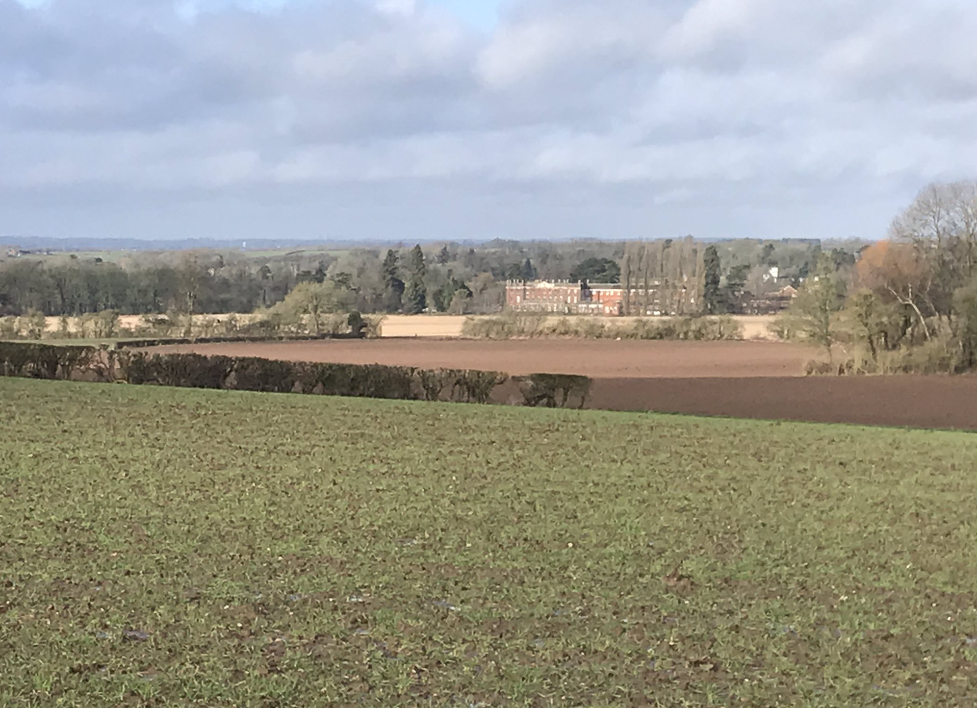
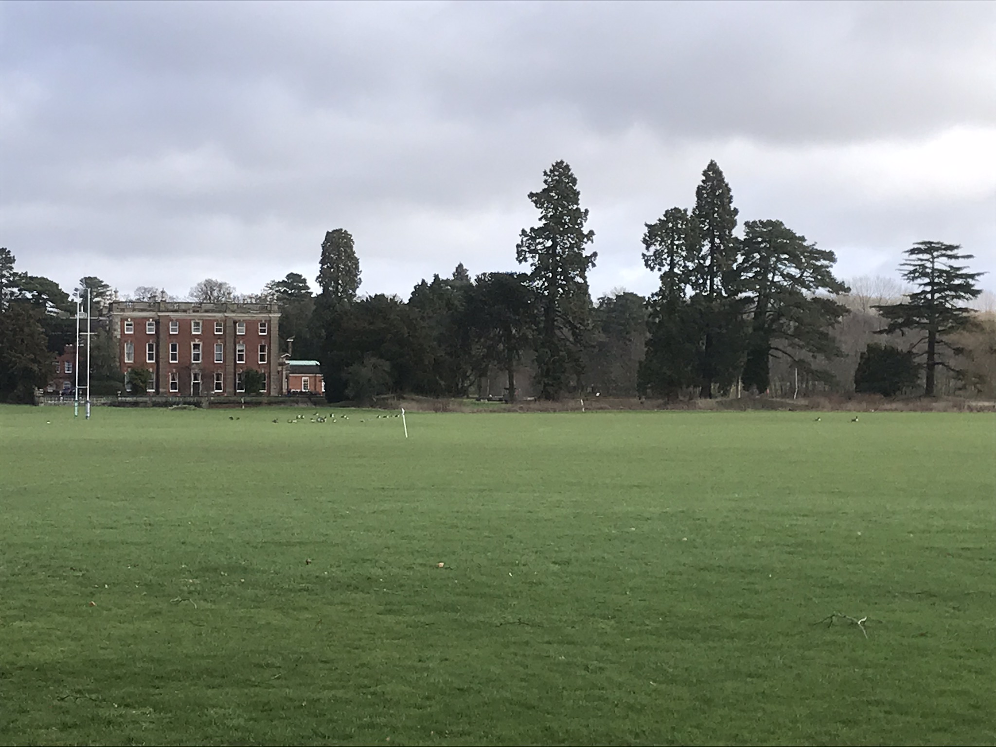
Turn right at the farm and head northwest along the track to Brick Kiln Spinney. There is a footbridge here to take you around the spinney initially and then another footbridge to take you through it. This (muddy) path curves around Newbold Revel, an 18th-century country house in the village of Stretton-under-Fosse. It is now used by HM Prison Service as a training college and is a Grade II listed building. The path veers off to the left along here and the signpost is missing a sign so it may be difficult to spot. If you find yourself at a locked gate you’ve gone the wrong way!
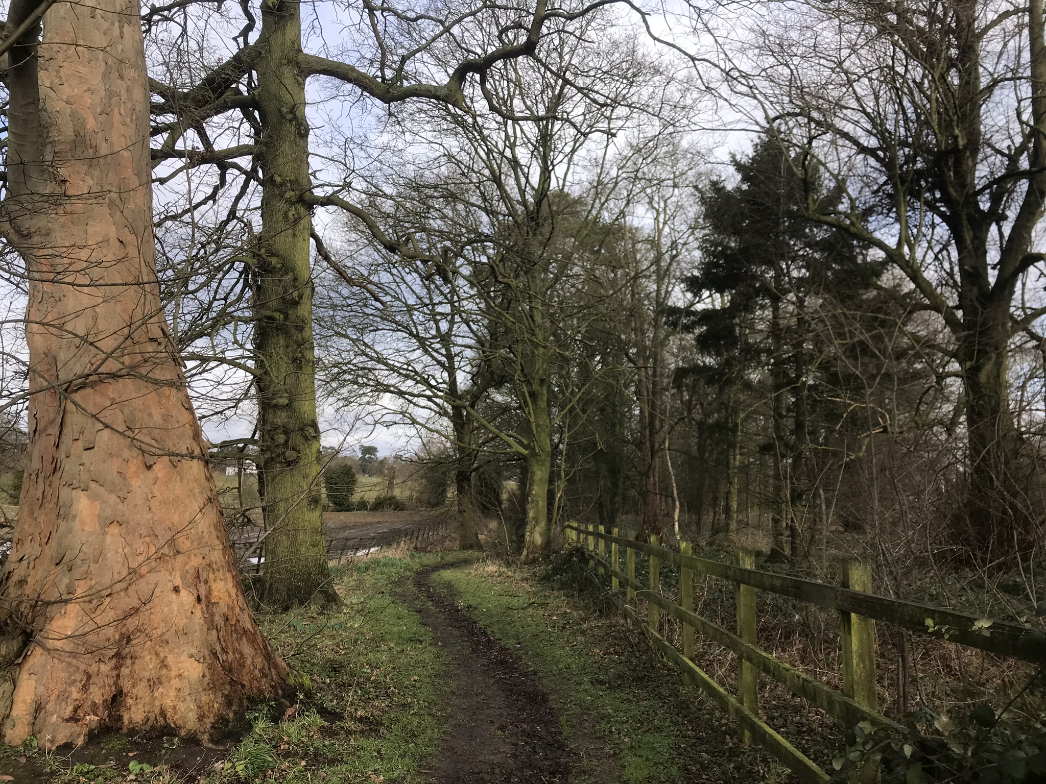
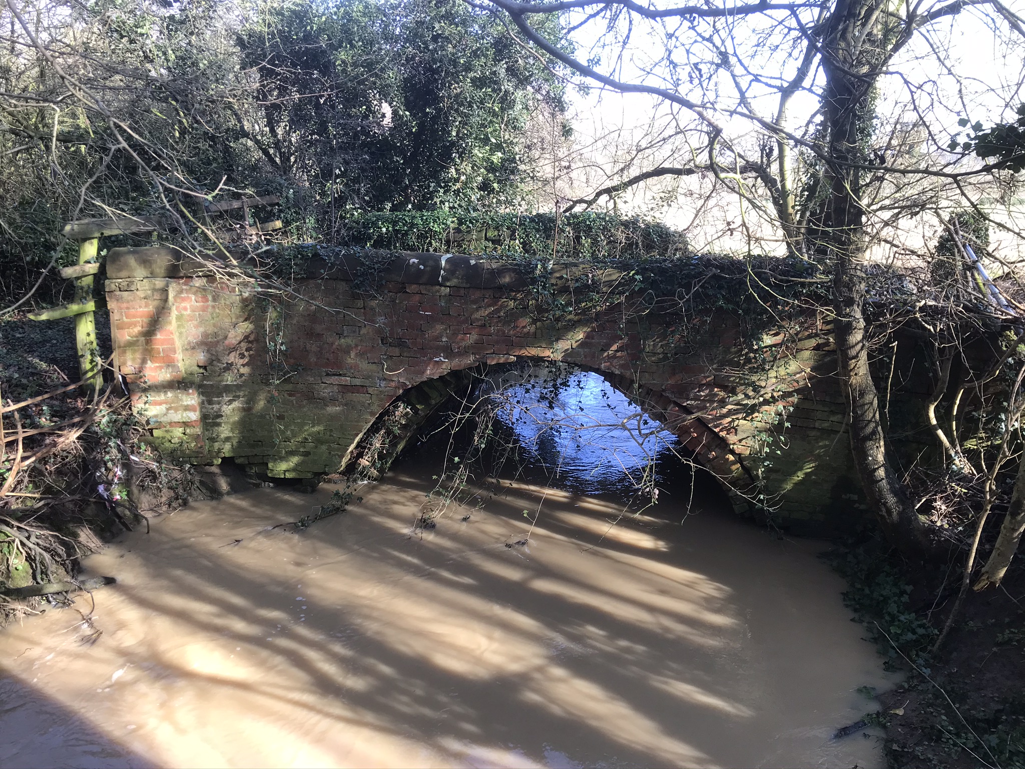
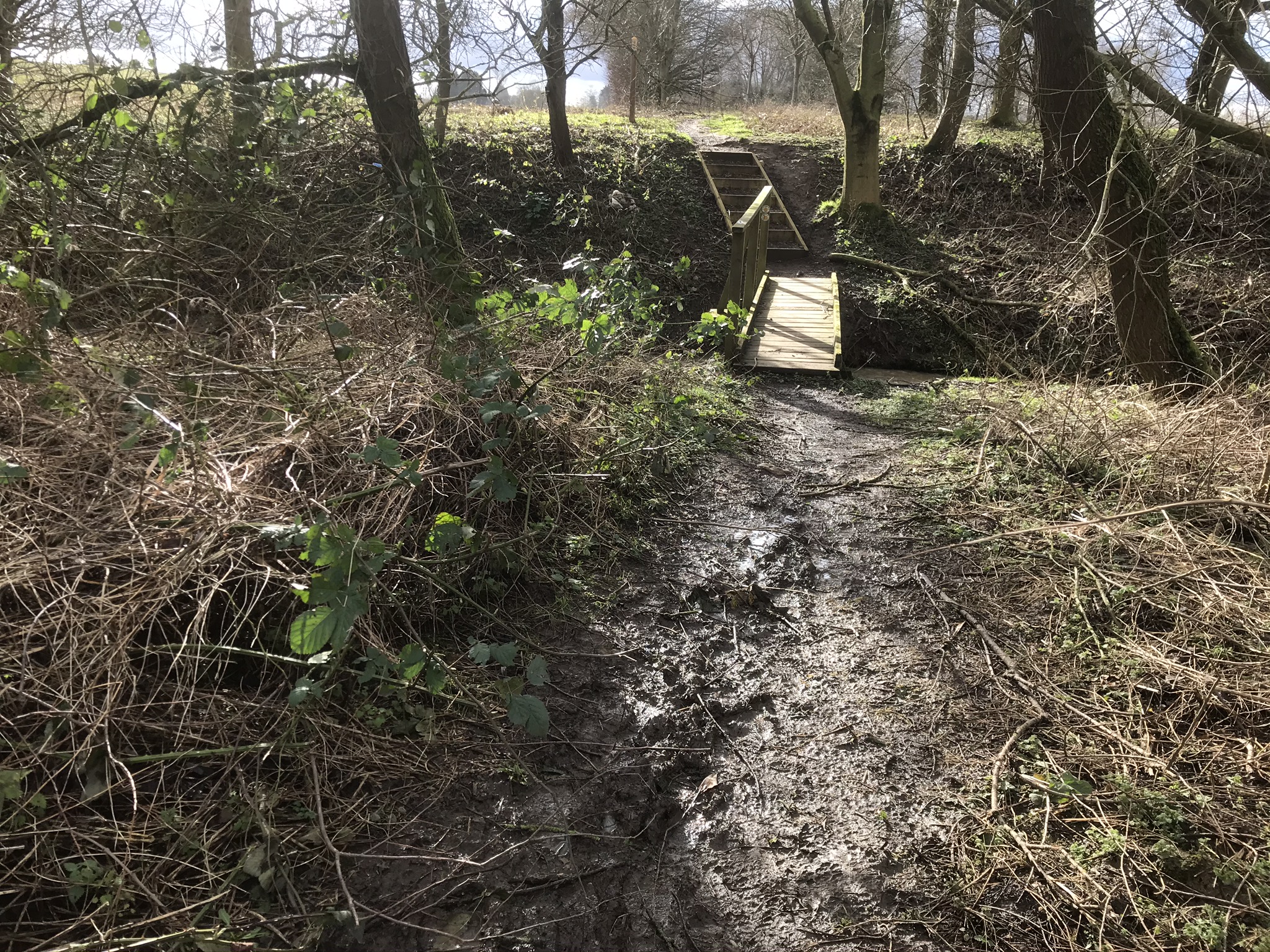
The footpath leads up to and over a road leading from Stretton-under-Fosse to the college. Go straight across the road and continue along the path to Dog Kennel Spinney. There is a lovely old brick bridge here that would have been ideal for a group photograph. Unfortunately, it is a little dillapidated and has been fenced off. A wooden footbridge has been constructed to the right of the brick one so it would be best to take that one!
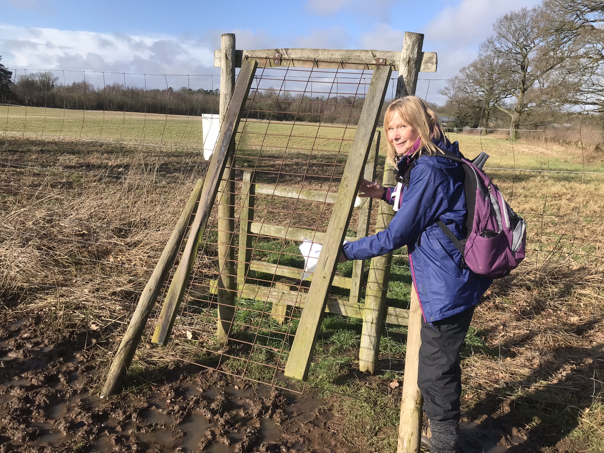
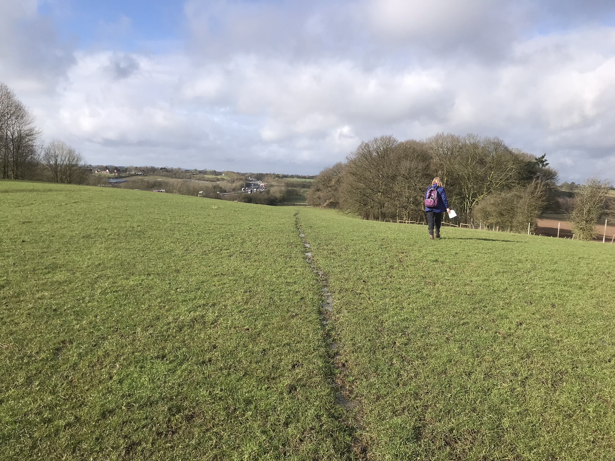
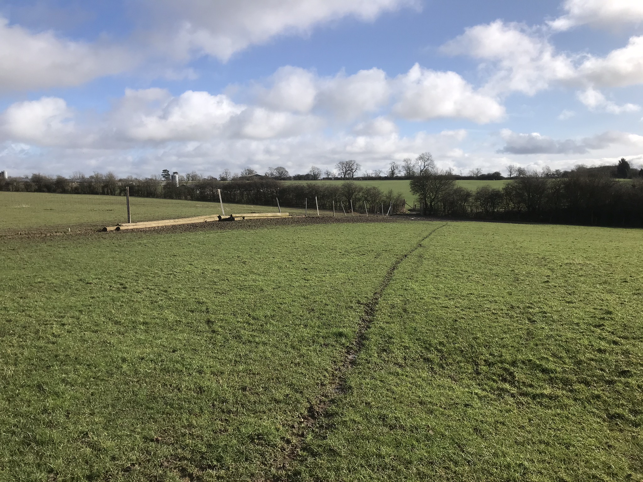
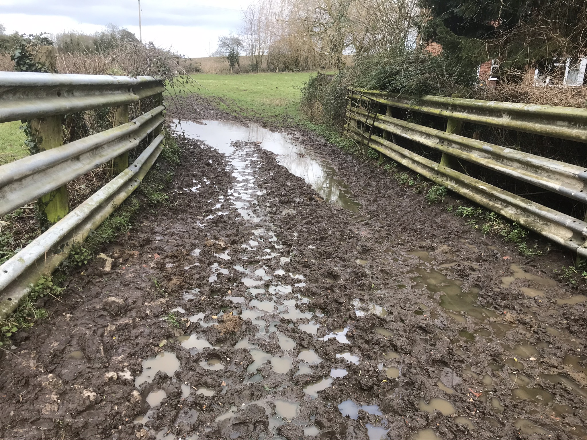
The path now veers to the left after the stile and follows a stream for a short way before crossing it and heading through the spinney. Exit the spinney into an open field and head slightly left diagonally across it. At the far end of the field is the first of the rather crude, but effective, deer gates. These gates are a bit awkward to negotiate without help, especially for the last person through so care should be taken when traversing these gates. Go diagonally left across this field where there is another deer gate in the far corner.
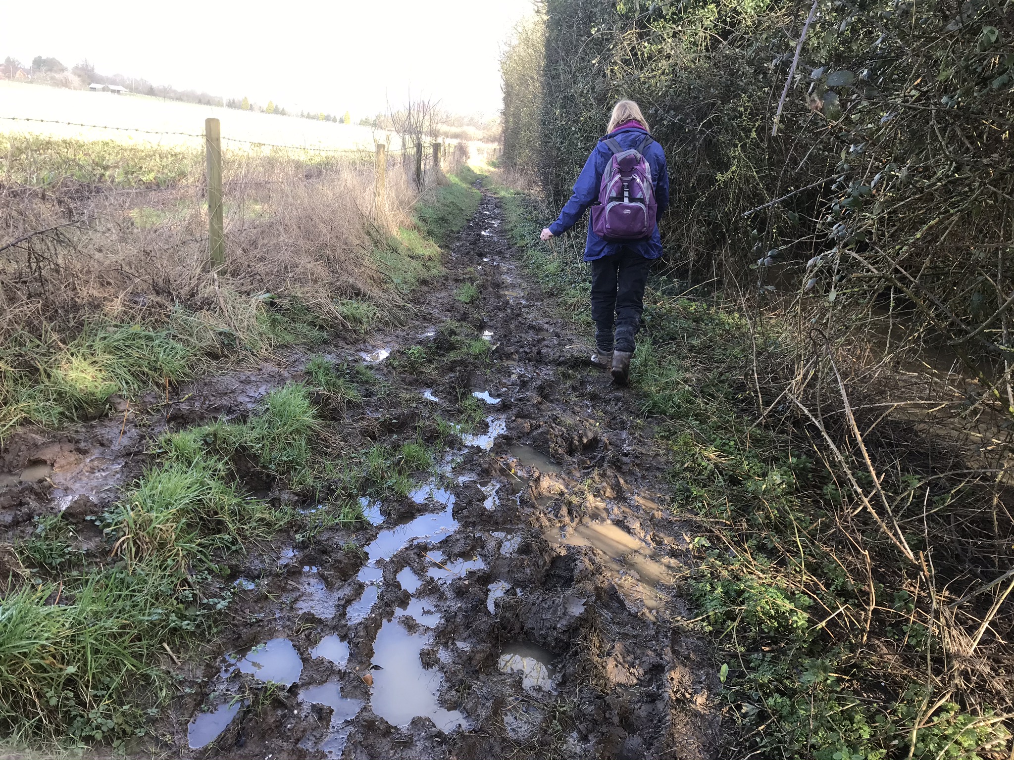
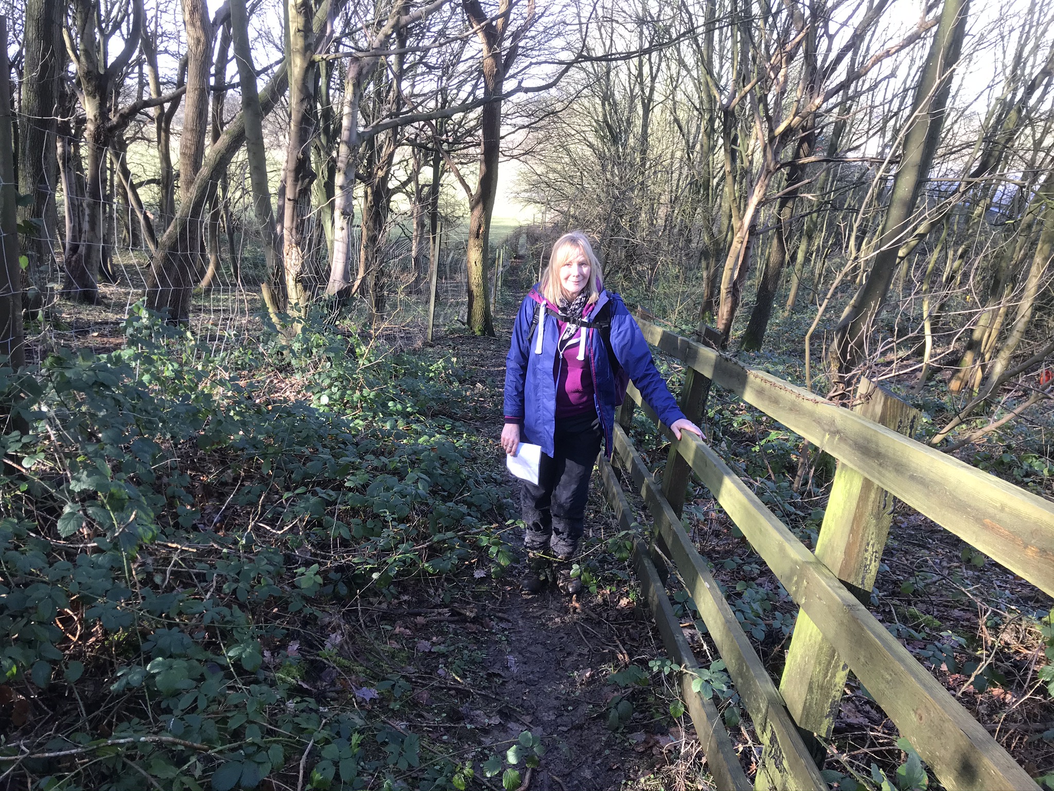
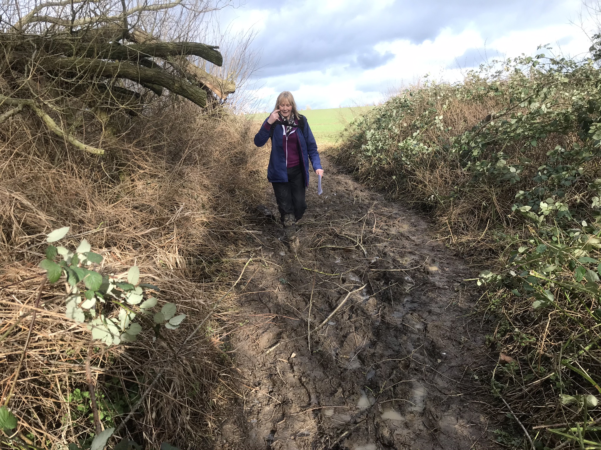
The path here is narrow, overgrown, and muddy! It heads uphill parallel to the motorway. Walking poles would be handy along here. Towards the end of this section the path leads steeply upwards. In muddy conditions it can be very slippery. If you don’t have a walking pole or two then hold on to the fence to help you up. It’s only a short climb but it is very steep.
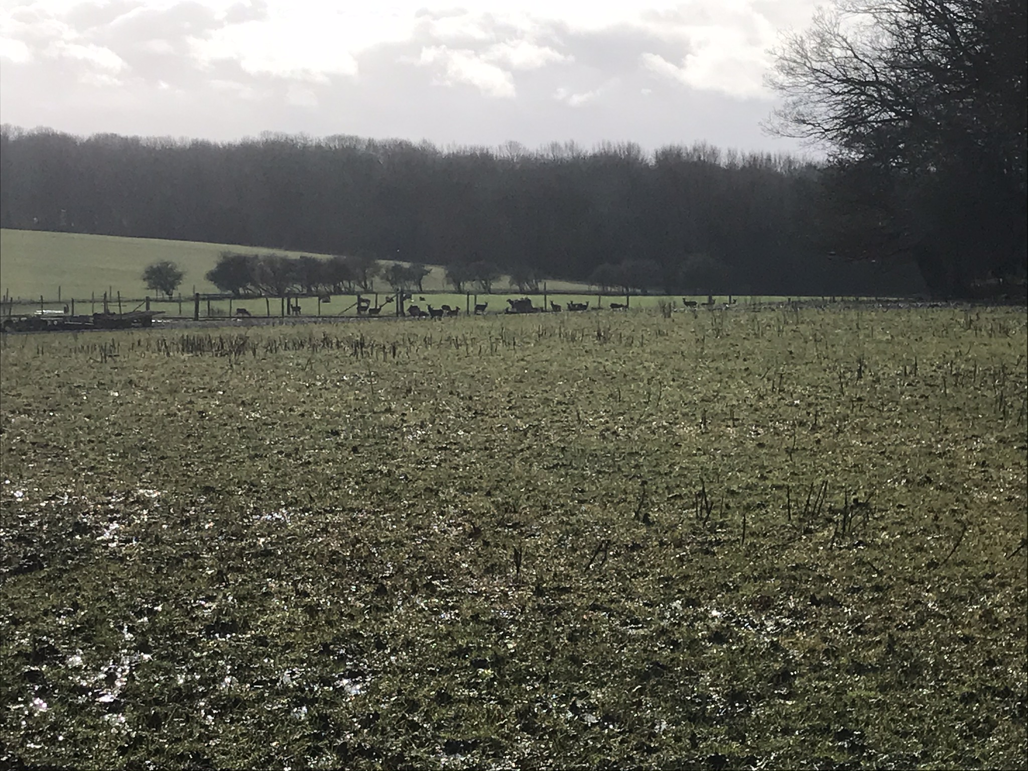
At the top you can catch your breath and look over to the right at all the deer on the farm. Cross the bridge over the M6 and about halfway between the motorway and the first farm building on the right, take the foot path to the left of the road. Be careful here as the sign for the path you want is hidden in the undergrowth.
Don’t take the deer gate to the right but go through the big gate in front of you. Head up to the top of the field and then down again keeping the woods to your right. You will soon reach a gap between the two woods of Spion Kop. No, this is not the scene of the Boer War battle in January 1900. That was near Ladysmith in South Africa!
Moving on, go through another deer gate and cross three fields of varying muddiness until you reach Coventry Road. Cross the road onto the the narrow pavement and turn right to head towards Pailton. Just after the chicane is the Pailton Ex-Servicemen’s Club. Turn in here and head for the children’s playing area where there is suitable seating for a coffee stop. Keep an eye on Janet though – there are swings here!!
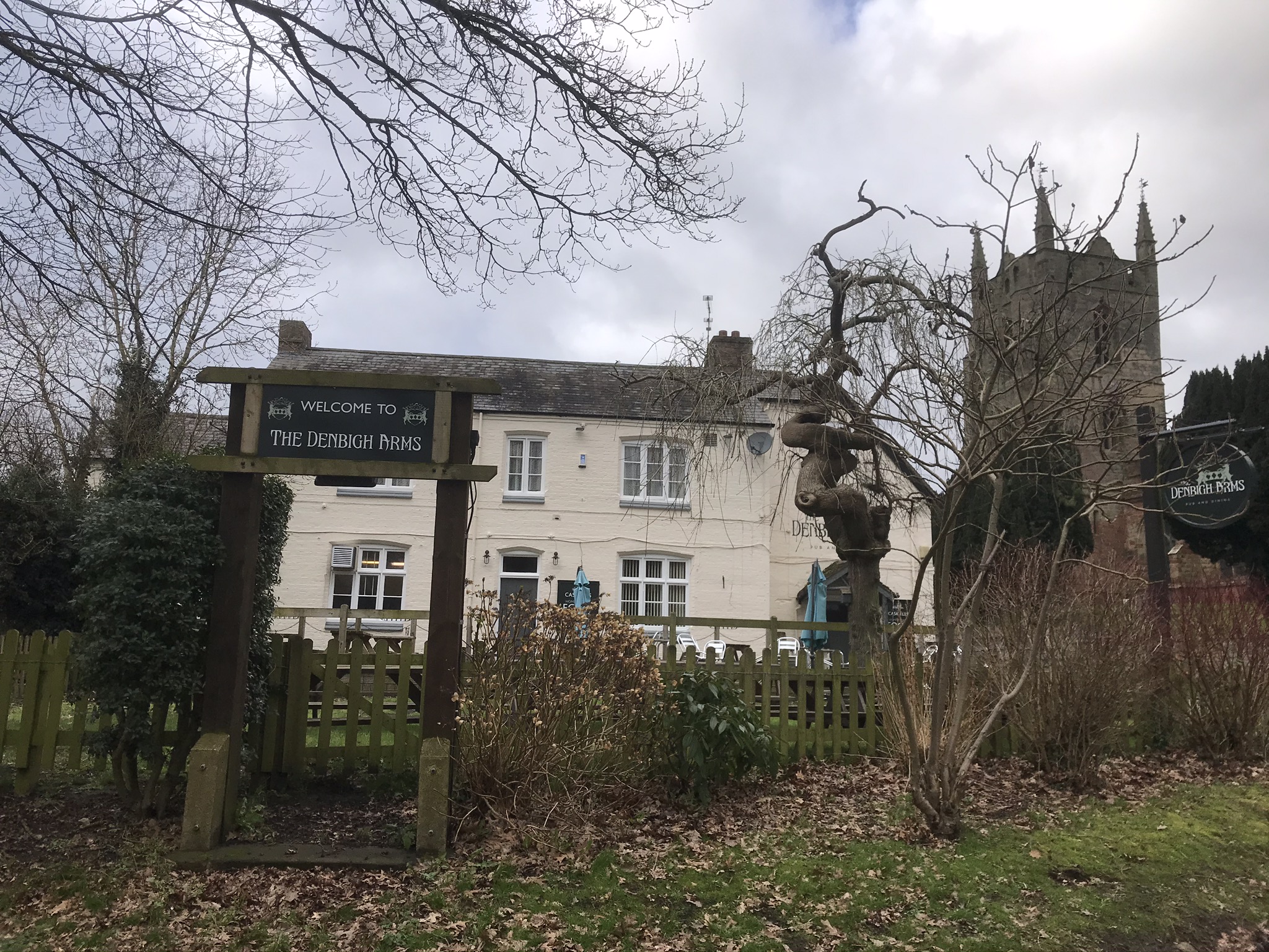
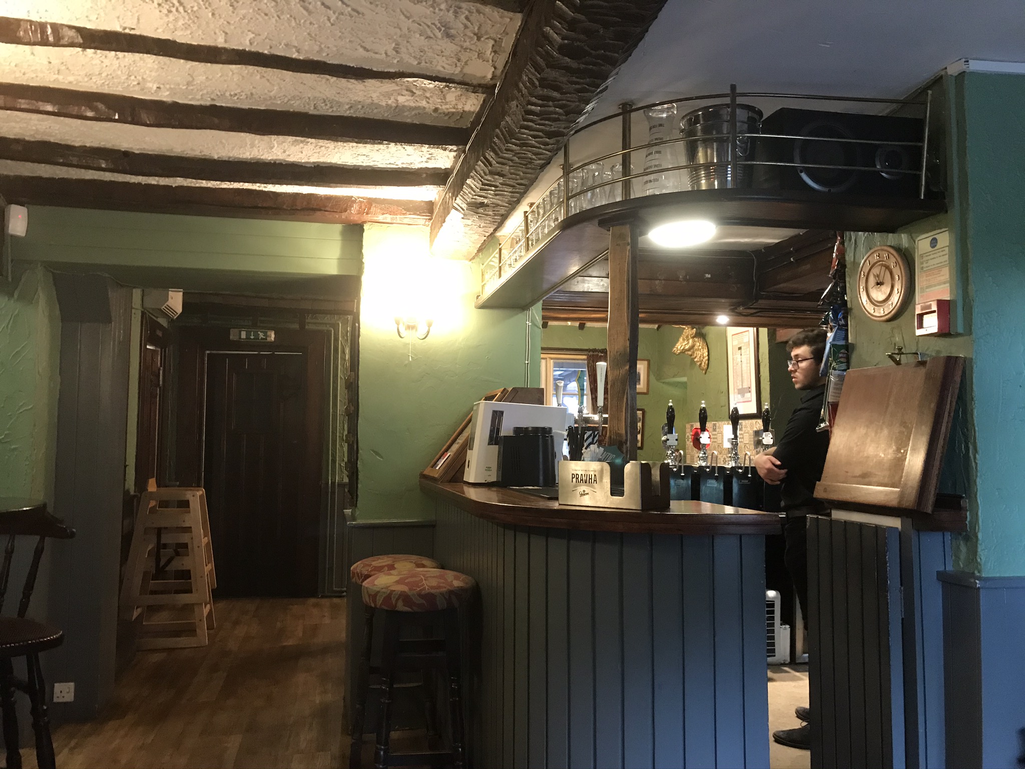
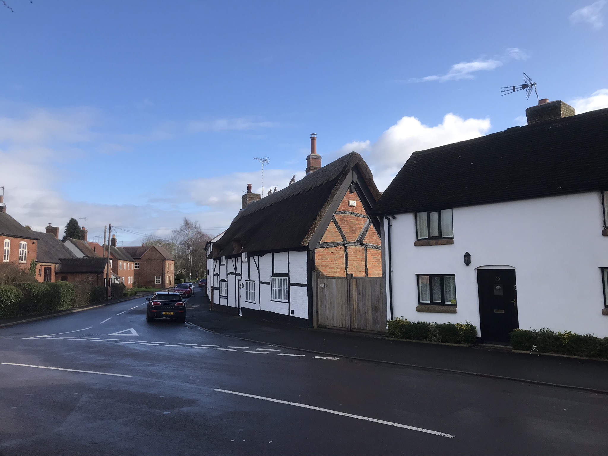
After coffee, turn right as you leave the park and head north along the footpath to Monks Kirby. You should come out onto Bell Lane. Unfortunately, The Bell Inn is no longer. However, the Denbigh Arms is the place to head to. Here, the landlord is a cask ale enthusiast and tries to include one local ale amongst the four being served. It is a welcoming multi-roomed village pub that is renowned for its home-cooked food.
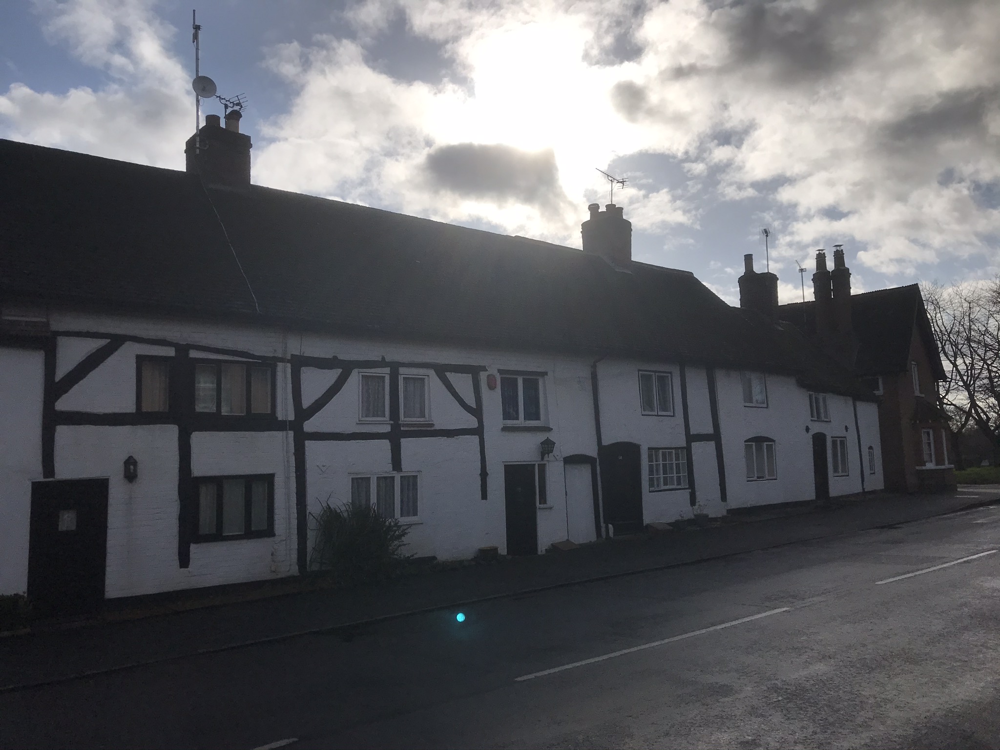
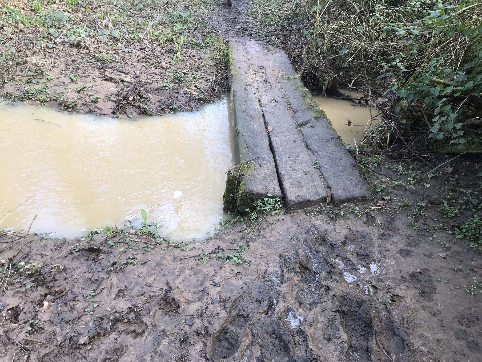
Sadly, the pub and its ales have to be left behind as you head north and through the village along Bond End and then Monks Kirby Lane. The grass verge on the right of the road gradually narrows. Look for the footpath on the left just before the narrowest point. This path takes you over a narrow bridge of three sleepers to Sandy Lane. Head along Sandy Lane to where it meets Brockhurst Lane.
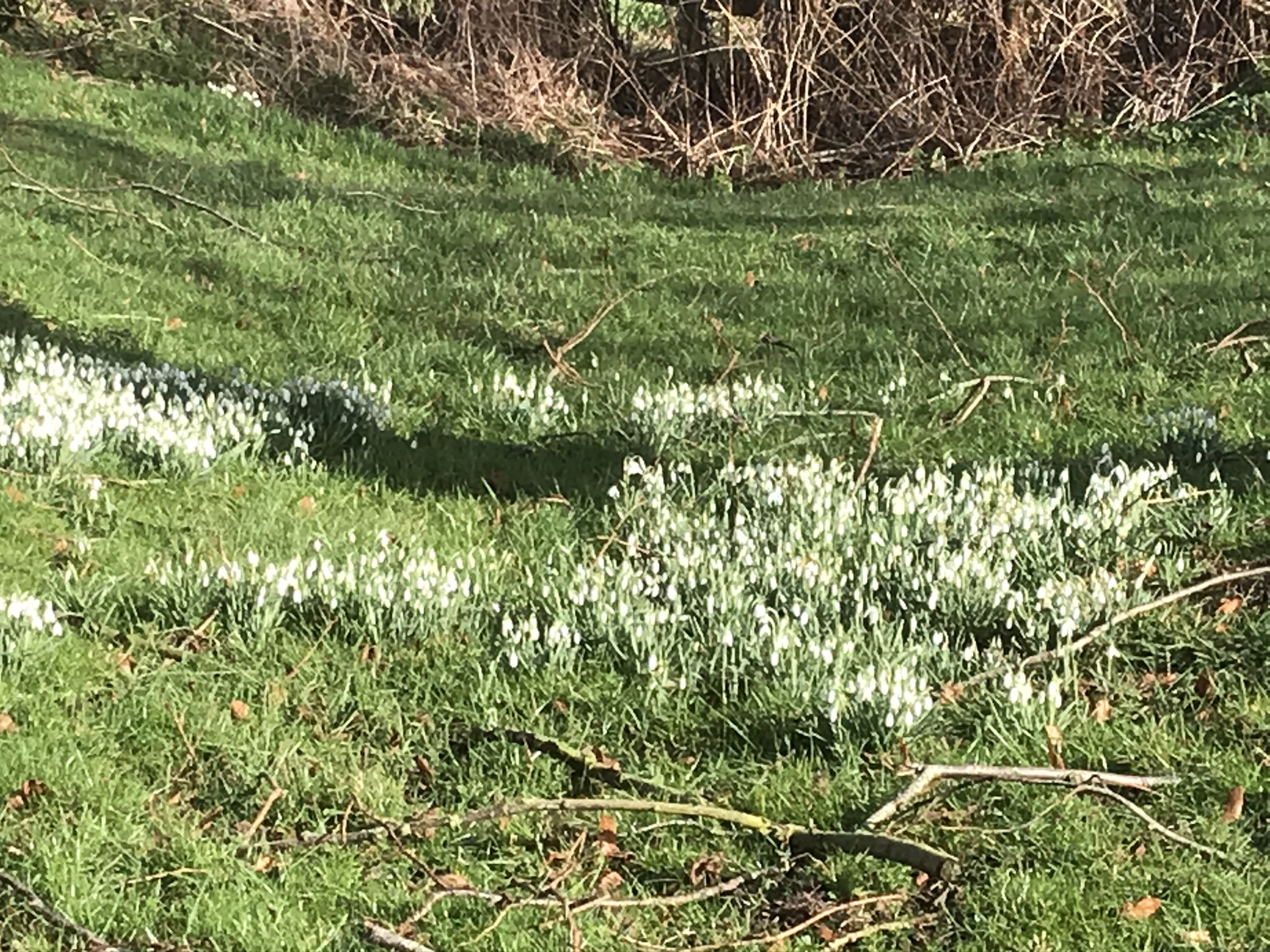
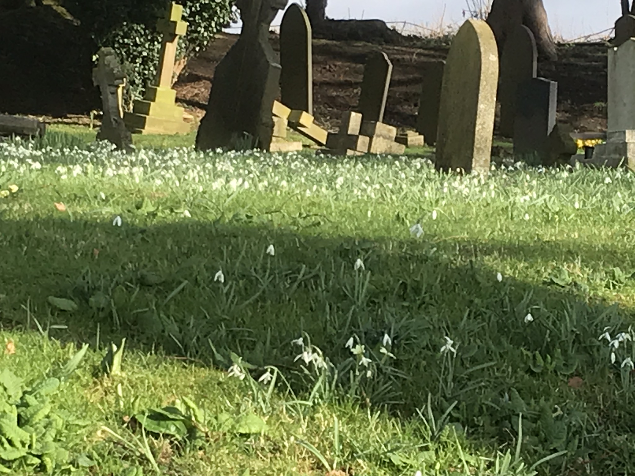
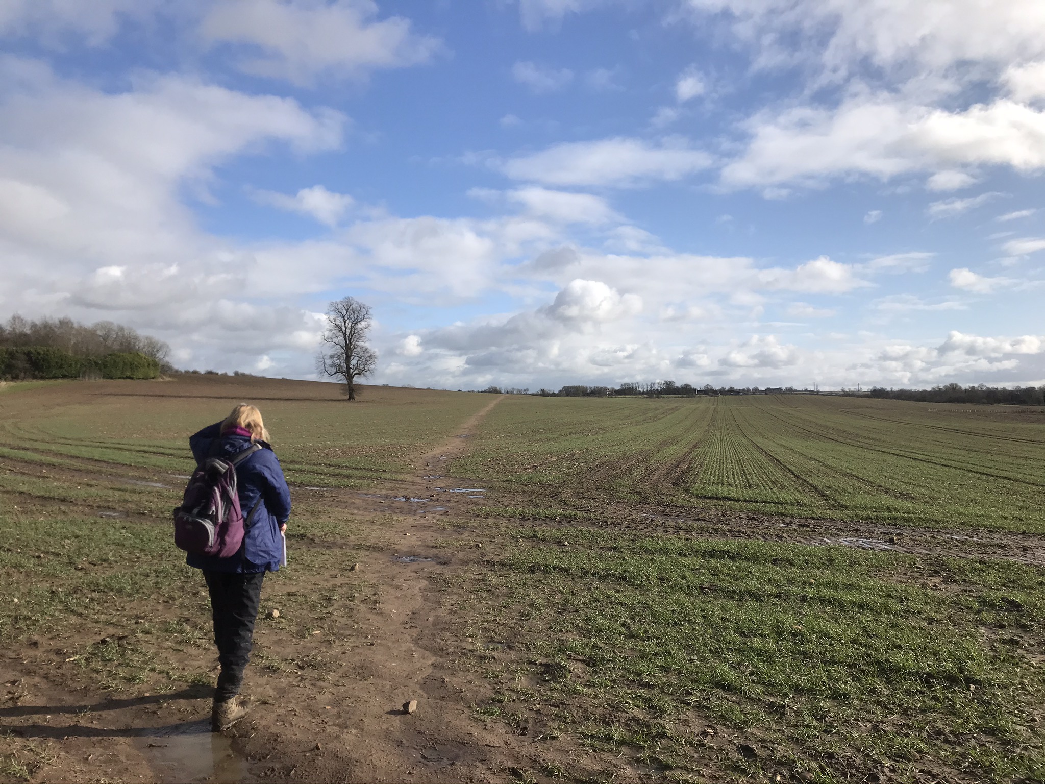
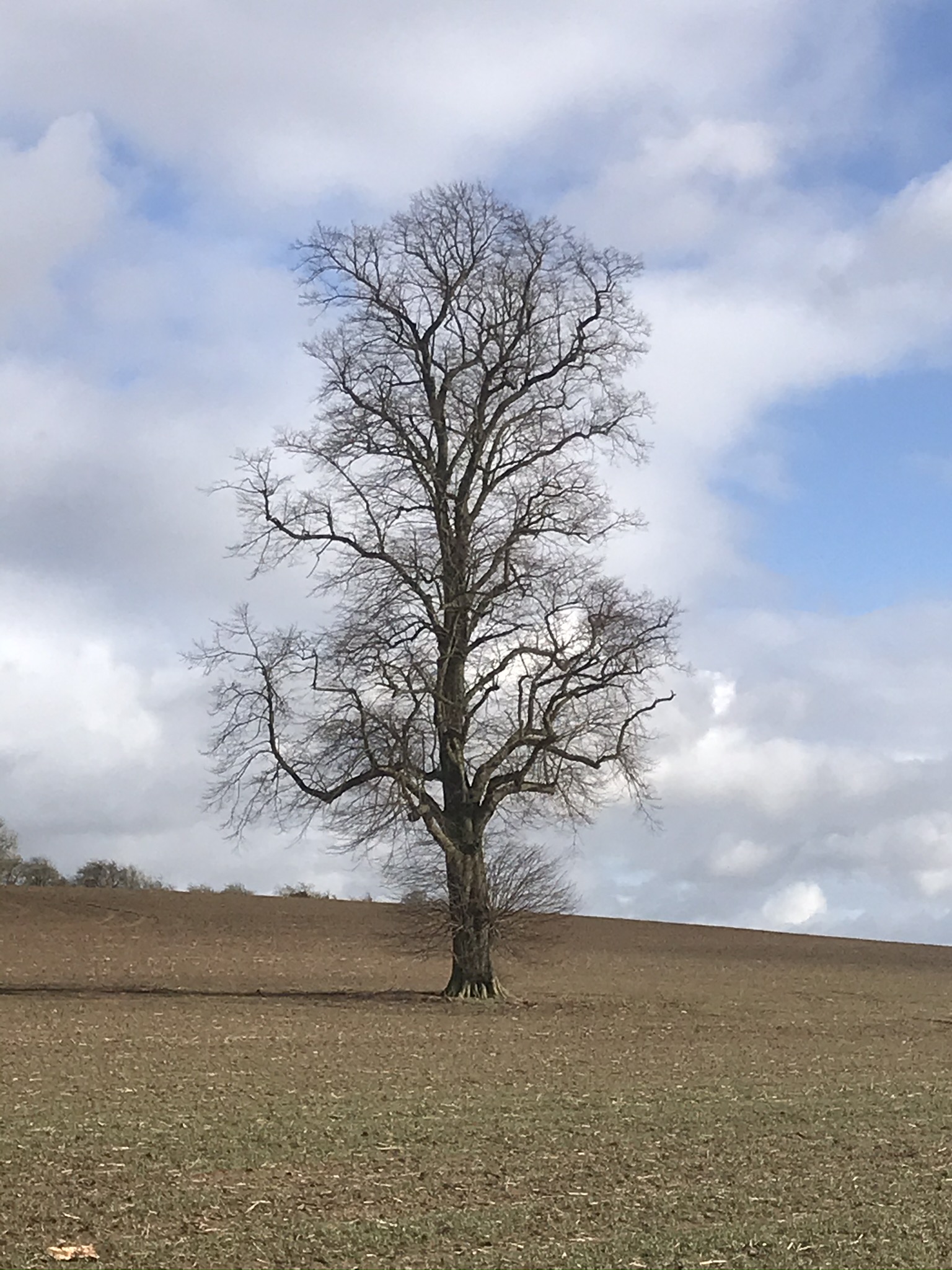
Brockhurst Lane will take you (southeast) past the cemetery where the snowdrops abound. Continue along Brockhurst Lane until it curves to the right with an unnamed road leading off to the left. Take this road and bear right along the track just after a yellow-topped marker post. This track opens up into a large field with a single tree to the left of the path.
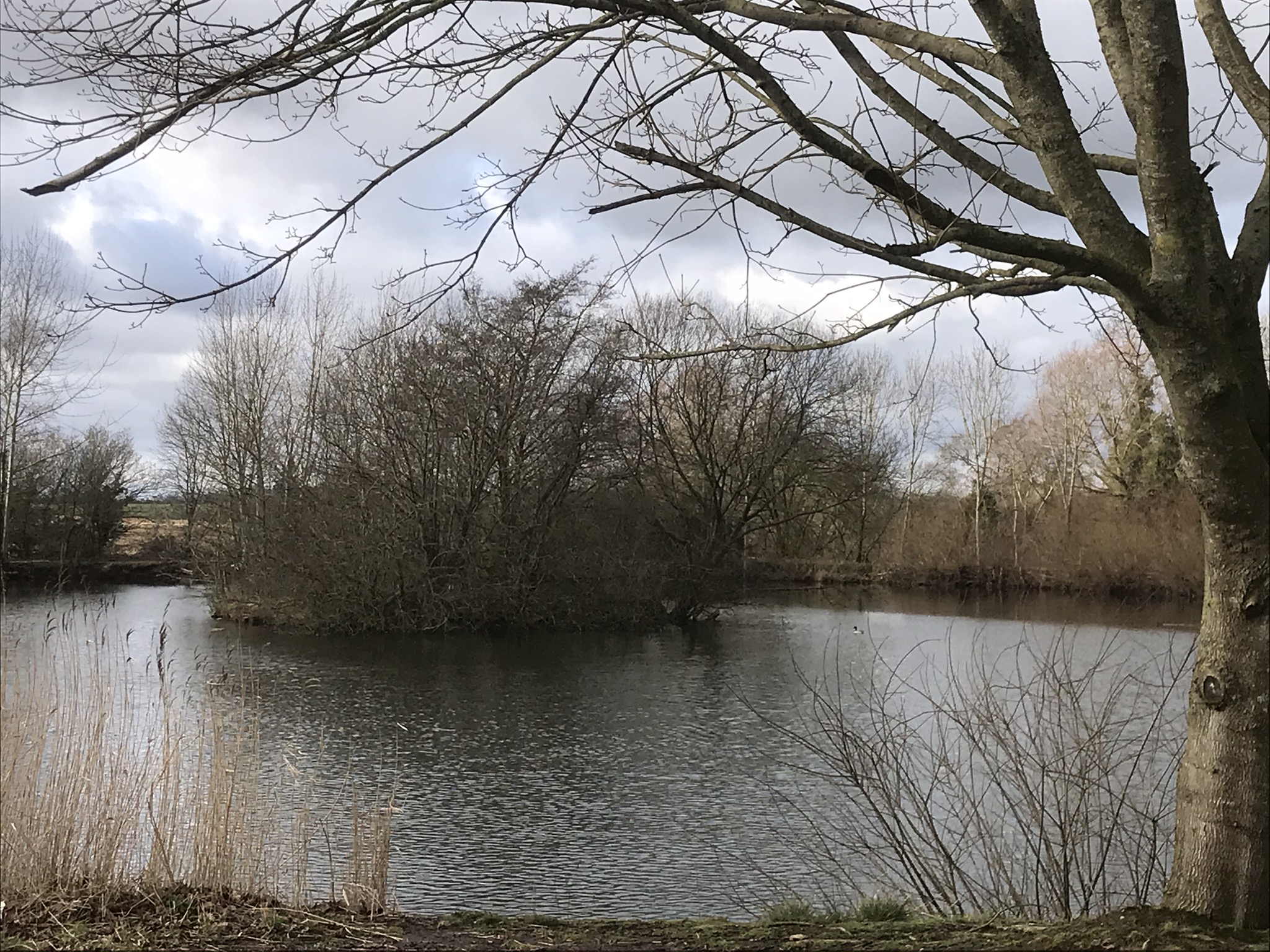
Cross the next field and then the path splits into three. Turn right, head up the hill a short way and then turn right again along another footpath just after the gateway. You are now heading just east of south down the map to Pailton Fields Farm and a lovely little lake that would make a nice picnic spot. Here the path splits into three once more and again you need to take the rightmost track taking you back into Pailton.
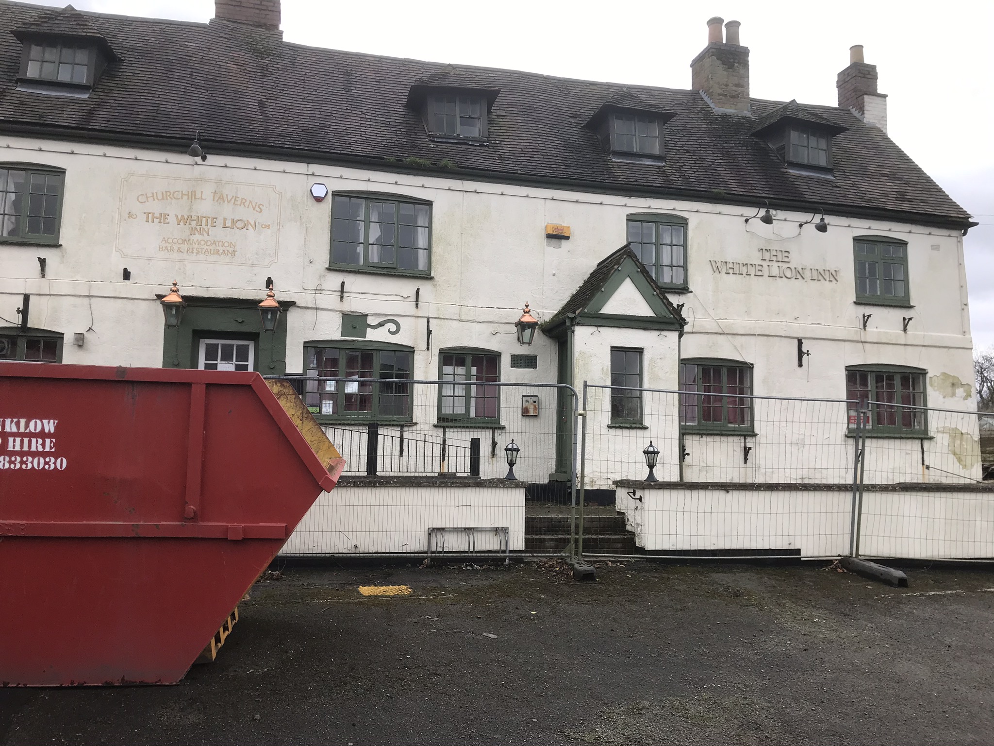
When we recce’d this walk we took time out to look at The White Lion at Pailton. This 17th century coaching inn, a once popular haunt for ghost busters, has been taken over by the village residents. The inn has been empty for over 6 years and has been vandalised inside. Good luck to the villagers in their quest.