

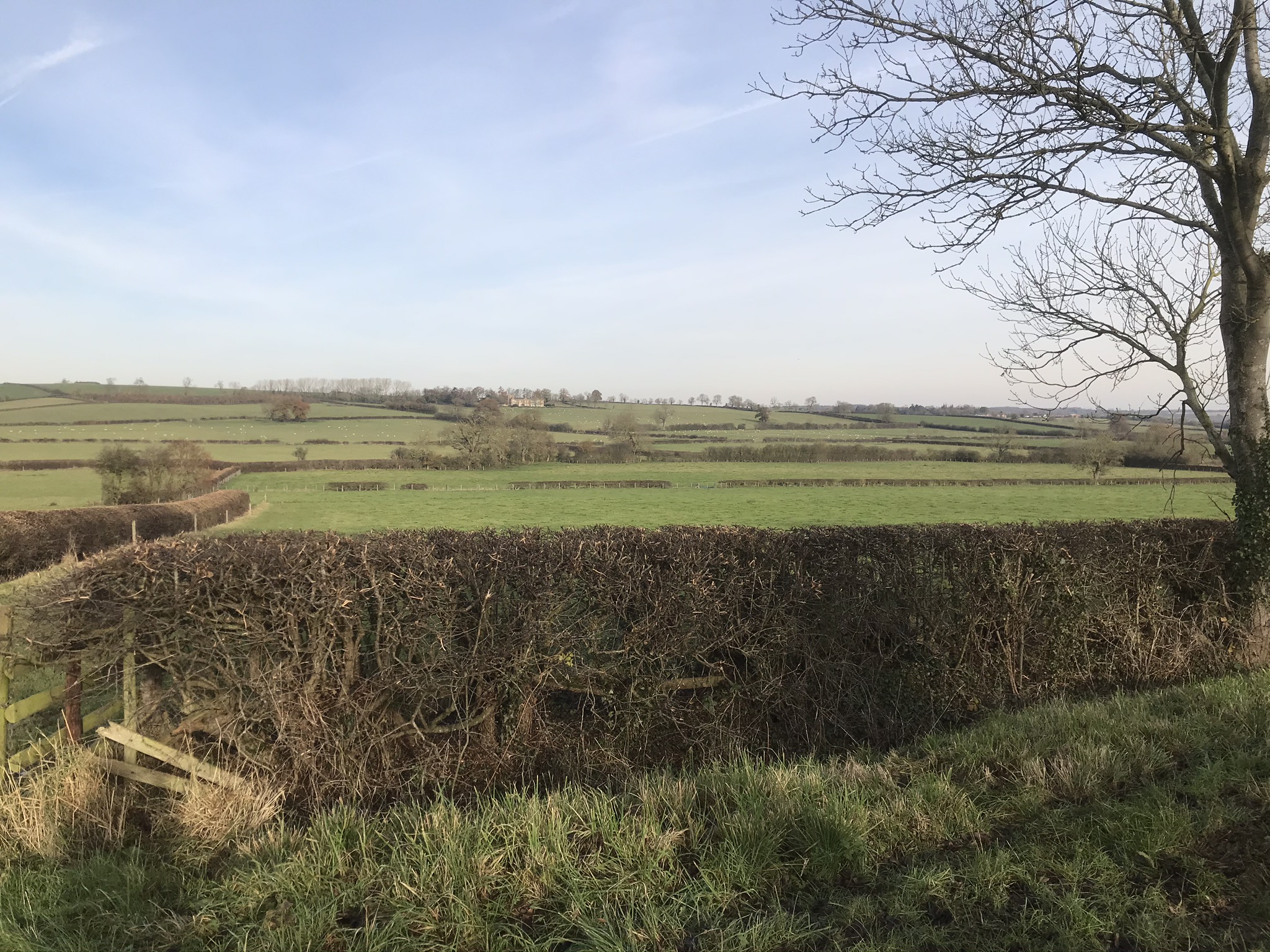


9:00 a.m. start from Fleckney Village car park
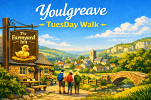
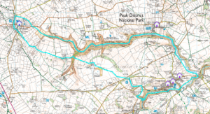
A circular walk from Youlgrave visiting Monyash, the popular Lathkill Dale, and Bradford Dale. The route is ideal for exploring the limestone scenery of the White Peak.
Park up in Youlgreave at, or near, The Farmyard Inn (///endearing.piled.wings or ///scrambles.estate.flagpole).
Head eastwards out of the village along the River Bradford whilst following the Limestone Way. The ‘Way’ leads all the way to Monyash where there’s a nice village green, pub, cafe and a notable Grade II listed church with Norman sections and a 15th century font. The Bulls Head beckons for mid-walk refreshments as the steepest section of the route has now been accomplished.
Then it’s northwards along Chapel Street before picking up the footpath through Bagshaw Dale and leading to Lathkill Dale. The dale is a peaceful, atmospheric area flanked with large limestone cliffs and woodland. There’s also waterfalls and weirs and a wide variety of flora and fauna to look out for.
We cross the bridge at Conksbury to leave the dale and continue to follow the River Lathkill as it changes direction near Alport to head into Youlgreave.
TuesDay Walks
These walks are longer than average and range from 8 to 13 miles.
Walks starting from the car park will be at the earlier time of 9:00 a.m.
Information about trips by bus will be posted on the website and the WhatsApp group.
Provisionally, walks are planned for alternate Tuesdays.
This list will be updated from time to time.
21st July - Youlgreave, Derbyshire by John
4th August - Kinder Scout, Derbyshire by John
18th August - Cranoe by John
1st September - Leicester (Bus) by Phil
15th September - Twyford by John
29th September - Hallaton by John
13th October - Yelvertoft by John